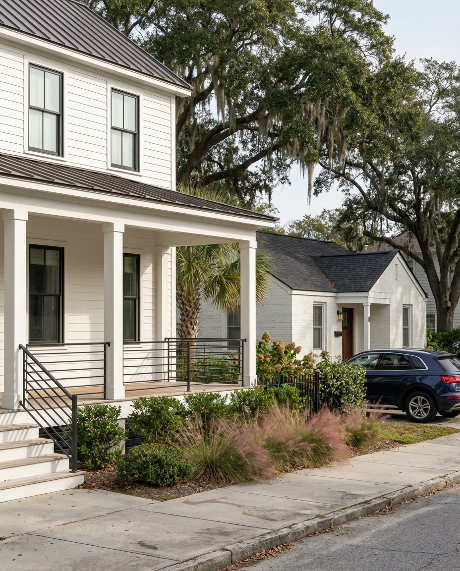
Torn between North and South Mount Pleasant? You are not alone. Each side offers a distinct rhythm of daily life, from walkable creekfront streets to amenity-rich master-planned neighborhoods. In this guide, you will learn how the two sides compare on lifestyle, commute, schools, housing, and practical due diligence, so you can choose with confidence. Let’s dive in.
Where the line is
Mount Pleasant locals often describe the town by what sits north or south of the Isle of Palms Connector, also known as SC‑517. The Connector is the simple, shared reference point that splits “Upper” Mount Pleasant to the north from “Lower” Mount Pleasant to the south. You will hear these phrases in neighborhood searches and MLS notes because they reflect how people move through town and how daily life feels in each area. Learn more about the roadway that defines this divide in the South Carolina Highway 517 overview.
Lifestyle snapshot
South of the Connector: village and waterfront
If you picture mornings at the Pitt Street Bridge and evenings near Shem Creek, the south side may fit your pace. The area includes historic pockets and creek or harbor neighborhoods with compact lots and a strong sense of place. You will find walkable dining, boardwalks, and small shops, especially around Old Village and Shem Creek. For a flavor of the scene, browse one of the perennial creekfront spots like Saltwater Cowboys.
North of the Connector: master‑planned and amenity rich
If you want newer homes, larger yards, and neighborhood amenities, look north. Communities such as Park West, Carolina Park, Dunes West, Rivertowne, and Hamlin offer pools, trails, clubhouses, and a wider mix of new construction and townhomes. Daily life often centers on neighborhood parks, HOA pools, and convenient retail, with easy access to shopping clusters like Towne Centre and larger grocery stores.
Parks, beaches, and the outdoors
Both sides put you close to Lowcountry water and green space. Families love Palmetto Islands County Park for playgrounds, trails, and kayak launches. Shem Creek’s boardwalk and dining scene is a favorite for sunset walks and dolphin watching. For the beach, the Isle of Palms Connector gets you to Isle of Palms, and the Ben Sawyer Bridge serves Sullivan’s Island. In peak season, consider the Towne Centre to Isle of Palms shuttle described by Mount Pleasant Towne Centre.
Commute and transportation
Downtown access via the Ravenel Bridge
The Arthur Ravenel Jr. Bridge on US‑17 is the primary crossing to downtown Charleston. It carries high daily volumes and shapes peak-hour patterns for both sides of Mount Pleasant. Off‑peak, you can expect roughly 10 to 25 minutes depending on your starting point. During rush hours, commutes can extend, especially from the far north. See background on bridge capacity and role in the region in the Arthur Ravenel Jr. Bridge overview.
Beach runs and weekend flow
The Isle of Palms Connector provides the quickest link to Isle of Palms. Many north‑side neighborhoods feed directly into SC‑517 or I‑526, which makes beach trips and cross‑town drives predictable. South‑side neighborhoods sit closer to the harbor and the Ravenel, which keeps downtown access quick.
Transit and seasonal options
Most residents drive. CARTA offers local routes and seasonal services. During beach season, the Beach Reach shuttle from Towne Centre has helped ease parking stress at Isle of Palms, as noted by Towne Centre’s shuttle update. If public transit is important to you, check schedules before you decide.
Schools and family options
Mount Pleasant is served by Charleston County School District. Several schools in the area have strong reputations with relocating families, including Wando High School, Lucy Beckham High School, Laing and Moultrie middle schools, and multiple elementary schools. Because attendance lines can change, confirm a property’s exact assignment with the district’s site at Charleston County School District.
For additional context, some local elementaries receive high marks on third‑party rating sites. As one example, review Belle Hall Elementary on GreatSchools. Charter and private options such as East Cooper Montessori Charter, Palmetto Christian, Christ Our King–Stella Maris, and Trident Academy are also part of the mix. Your best fit will depend on location, program needs, and preferred school environment.
Housing and price signals
Town‑wide, Mount Pleasant trades in the high six‑figure to low seven‑figure range, with big differences block to block. As a rule of thumb, south of the Connector carries a premium for proximity to downtown, historic streetscapes, and waterfront access. You will see a range of small historic cottages, creekfront condos, and custom harbor or deep‑water properties, with higher prices per square foot for close‑in and waterfront locations.
North of the Connector offers a broader selection and price spectrum. Expect newer single‑family homes on larger lots, townhomes, and golf or membership communities with on‑site amenities. Many master‑planned neighborhoods have monthly HOA fees that support pools, parks, and trails. South‑side historic areas often have little or no HOA, smaller lots, and higher land values. Always review HOA rules for rental policies, exterior design guidelines, and any restrictions that affect your plans.
Flood risk and insurance basics
Flood risk is part of life in a coastal town. Mount Pleasant participates in FEMA’s Community Rating System, which can reduce premiums for many National Flood Insurance Program policies. Risk varies address by address, and waterfront or harbor lots can sit in higher‑risk FEMA zones that come with specific building requirements and higher premiums. Before you commit, check the Town’s guidance and resources at Mount Pleasant Flood Protection, and request any available elevation certificate for the property.
How to choose your fit
Consider how you live day to day, then match that to each side’s strengths:
- You want walkable dining and quick downtown access: look south near Old Village, Shem Creek, I’On, Hobcaw Point, and Remley’s Point.
- You want newer homes, yard space, and on‑site amenities: look north in Park West, Carolina Park, Dunes West, Rivertowne, and Hamlin Plantation.
- You prioritize the beach: target areas with fast access to the Isle of Palms Connector, such as Hamlin and communities near Rifle Range Road or Snee Farm.
- Your job is in North Charleston, Summerville, or near I‑526: many north‑side addresses have efficient freeway access.
- You value water access and views: both sides offer options, with a higher concentration of harbor and deep‑water properties to the south.
Neighborhood shortlists
Use these as starting points for saved searches and in‑person tours.
North of the Connector
- Park West
- Carolina Park
- Dunes West
- Rivertowne
- Hamlin Plantation
South of the Connector
- Old Village and Pitt Street area
- Shem Creek and Remley’s Point
- I’On
- Hobcaw Point
What to verify before you buy
- Drive your commute during peak hours. The Ravenel Bridge shapes rush‑hour patterns.
- Confirm school attendance for the exact address with Charleston County School District.
- Review the property’s flood zone and the Town’s guidance at Mount Pleasant Flood Protection. Ask for any elevation certificate, then price insurance with your lender and insurer.
- If applicable, review HOA covenants for rental rules, design guidelines, docks and boat storage.
- Test beach routes and weekend travel to Isle of Palms or Sullivan’s Island, especially in peak season.
- Walk the neighborhood at different times of day. Check noise, traffic, and parking patterns.
Ready to explore homes on both sides of the Connector and make a confident choice? Schedule a private consultation with Georgia Nettles for tailored guidance, local market insight, and a seamless plan from first tour to closing.
FAQs
What is the difference between North and South Mount Pleasant?
- The Isle of Palms Connector acts as the dividing line, with the south side offering village and waterfront living near downtown, and the north side offering newer, amenity‑rich master‑planned communities (SC‑517 overview).
How long is the commute from each side to downtown Charleston?
- Off‑peak drives commonly run 10 to 25 minutes, and peak hours can extend travel, especially from farther north; the Ravenel Bridge is the primary crossing and peak‑hour constraint.
How do schools compare in North vs South Mount Pleasant?
- Both sides feed into Charleston County School District schools, and assignments depend on your address; verify any property with the district’s site at Charleston County School District.
Will I need flood insurance for a Mount Pleasant home?
- It depends on the property’s FEMA zone; the Town participates in a program that can lower premiums, but you should check maps, request an elevation certificate, and review guidance at Mount Pleasant Flood Protection.
Is living south of the Isle of Palms Connector worth the price premium?
- Many buyers pay more for shorter downtown access, walkability, and waterfront lifestyle to the south, while the north often offers more space and amenities at broader price points; your choice comes down to lifestyle priorities and specific comps.